Australian Geographic Reference Image
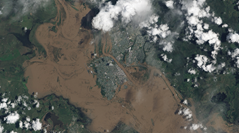
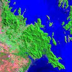
CRCSI Feature Extraction project tools assisted Geoscience Australia to produce the Australian Geographic Reference Image (AGRI), providing an important foundation for future mapping and environmental monitoring.
AGRI forms a new source of ground control across Australia, to which imagery from new satellites can be consistently and automatically registered.
Data Processing
Consistency and accuracy in broad-area image orthorectification is essential to ensure that observations taken at different times, from different sources and in the field, can be compared at single-pixel resolution, thus allowing temporal monitoring.
For a country the size of Australia, scene-by-scene orthorectification of ALOS imagery constituted a time consuming and expensive task. AGRI's photogrammetric processing approach reduced the requirement for ground control by more than 95%.
The long-strip adjustment, implemented in the CRCSI developed Barista software, rendered the AGRI project feasible in time, logistics and cost. It reduced the image registration task from almost 10,000 scenes to just 105 orbit segments.
Moreover, the number of required ground control points was reduced from more than 30,000 to less than 1,000. The resulting production time savings were substantial, and the cost savings in the creation of AGRI over traditional methods exceeded several million dollars.


